Xinhua News Agency, Hangzhou, July 31st (Reporter Tang Tao, Qiu Shijie) The No.6 typhoon Kanu this year has been strengthened from a typhoon to a strong typhoon on the morning of the 31st. The Central Meteorological Observatory predicts that Kanu will move into the East China Sea on the night of August 2, and gradually turn to the north, and continue to approach the east China coast. What are the characteristics of "Kanu" and what kind of wind and rain impact will it bring?
It is understood that since the typhoon was officially named in 2000, there have been four "Kanu" typhoons. Coincidentally, the location of typhoon Kanu this year is close to that of Kanu I in 2005, and the moving path is similar.
In 2005, the 15th typhoon "Kanu" made landfall in Jinqing Town, luqiao district, Taizhou City, Zhejiang Province, and the coastal areas of East China were flooded with heavy rain. In Zhejiang alone, 10 cities and 56 counties (cities, districts) were seriously affected.
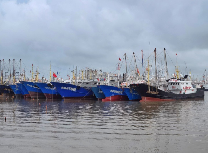
Fishing boats entered the harbor to take shelter from the wind. (Photo courtesy of the interviewee)
According to the Zhejiang Meteorological Observatory, at 8: 00 on July 31, the center of Typhoon Kanu was located on the ocean surface about 630 kilometers southeast of Naha, Ryukyu Islands. "At present, due to the overall high position of the subtropical high, the steering flow on its south side is weakened, leading to ‘ Kanu ’ The moving speed is obviously slowed down. " Mao Yanjun, senior engineer of Zhejiang Climate Center, said.
Although it has become "slow", "Kanu" is still accumulating energy on the ocean. This morning, the intensity level of Kanu has risen to strong typhoon level. According to Zhang Juan, a meteorologist, Kanu is supported by southwest monsoon, assisted by high-altitude outflow and high sea temperature conditions, which are conducive to its strength.
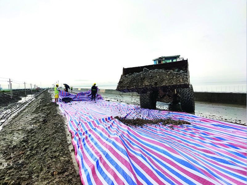
The staff reinforced the seawall dam. (Photo courtesy of the interviewee)
With the approaching of Kanu and the gradual strengthening of its intensity, Zhejiang Ocean Monitoring and Forecasting Center predicts that there will be a big storm in Zhejiang waters from July 31 to August 3, and there will be 6.0 meters to 10.0 meters of wild waves in the offshore waters. It is worth noting that during the lunar astronomical spring tide, the astronomical tide along the coast of Zhejiang Province is generally high, and some coastal sections will have a high tide level exceeding the local warning tide level.
The combination of typhoon and astronomical tide has brought great challenges to the safety of offshore production in the coastal areas of East China. In order to ensure the smooth and orderly typhoon prevention at sea, Zhejiang Maritime Safety Administration started the Class III emergency response of typhoon prevention for offshore ships in the whole province on July 30th. At present, all 260 wading projects along the coast of Zhejiang Province have been stopped, and the trial ships have stopped going out of the river to enter Zhejiang for trial operation. Zhejiang also postponed the unified fishing time for fishing boats. Before the typhoon ended, all fishing boats were sheltered from the wind in Hong Kong and all mariculturists were evacuated from shore.